


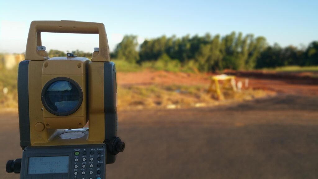
In Kenya, land is one of the most valuable assets, and its ownership is a significant milestone for individuals and businesses alike. However, the process of buying or selling land can be complex, especially without proper due diligence. One of the most critical steps in this process is land surveying. At Drone One Survey and Mapping Co. Ltd, we specialize in land surveying and land transactions, ensuring that our clients make informed decisions. In this article, we’ll explore why land surveying is essential and how it can save you from potential legal and financial pitfalls.
What is Land Surveying?
Land surveying is the process of measuring and mapping the environment using specialized tools and techniques. It involves determining the boundaries, dimensions, and topography of a piece of land. In Kenya, land surveying is conducted by licensed professionals who adhere to the guidelines set by the Survey of Kenya.
Why is Land Surveying Important?
- Accurate Land Boundaries
One of the primary reasons for conducting a land survey is to establish accurate boundaries. This helps prevent disputes with neighbors or future buyers over where one property ends and another begins. A land survey provides a clear and legal description of the property, ensuring peace of mind for both buyers and sellers. - Legal Compliance
In Kenya, land transactions must comply with the Land Registration Act and other relevant laws. A land survey ensures that the property is legally recognized and registered. It also helps identify any encroachments or illegal structures on the land, which could lead to legal complications. - Valuation and Pricing
A land survey provides detailed information about the size, shape, and features of the land, which is crucial for accurate valuation. Whether you’re buying or selling, knowing the exact dimensions and characteristics of the property ensures fair pricing and prevents overpaying or underselling. - Identifying Land Use Potential
Land surveys reveal the topography, soil type, and other physical characteristics of the land. This information is invaluable for determining the best use of the property, whether for residential, commercial, or agricultural purposes. - Avoiding Fraud
Land fraud is a common issue in Kenya, with cases of double allocation, fake title deeds, and illegal sales. A land survey helps verify the authenticity of the property and ensures that you’re dealing with the rightful owner.
The Land Survey Process in Kenya
At Drone One Survey and Mapping Co. Ltd, we follow a systematic approach to land surveying:
- Site Visit: Our team visits the property to assess its features and gather data.
- Measurement and Mapping: Using advanced tools like GPS and drones, we measure the land and create detailed maps.
- Boundary Marking: We physically mark the boundaries to avoid disputes.
- Report Preparation: We provide a comprehensive report, including maps, measurements, and legal descriptions.
Conclusion
Land surveying is a vital step in any land transaction in Kenya. It ensures legal compliance, prevents disputes, and provides valuable information for decision-making. At Drone One Survey and Mapping Co. Ltd, we are committed to helping our clients navigate the complexities of land transactions with confidence. Contact us today for professional land surveying services and expert advice on buying or selling land in Kenya.
